
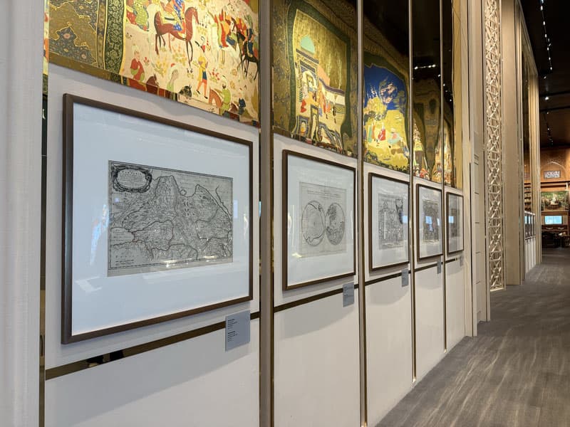
1694
A key fact recognized on European maps is presented in the exposition of a mega project in Uzbekistan
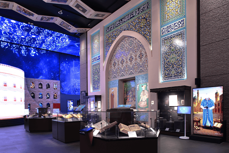
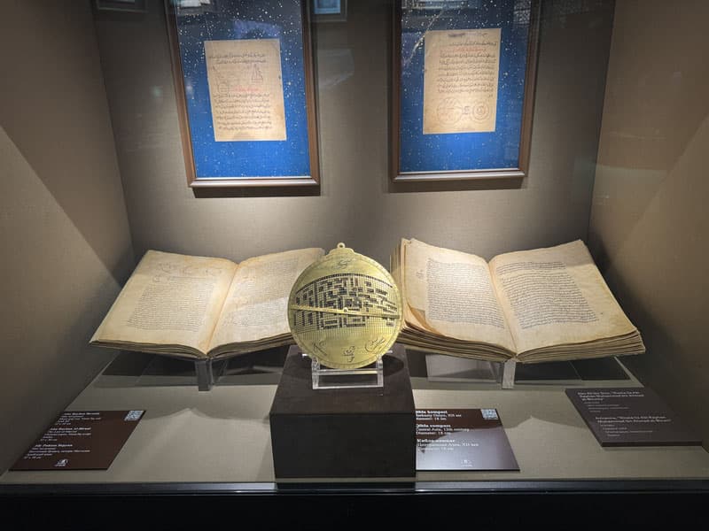
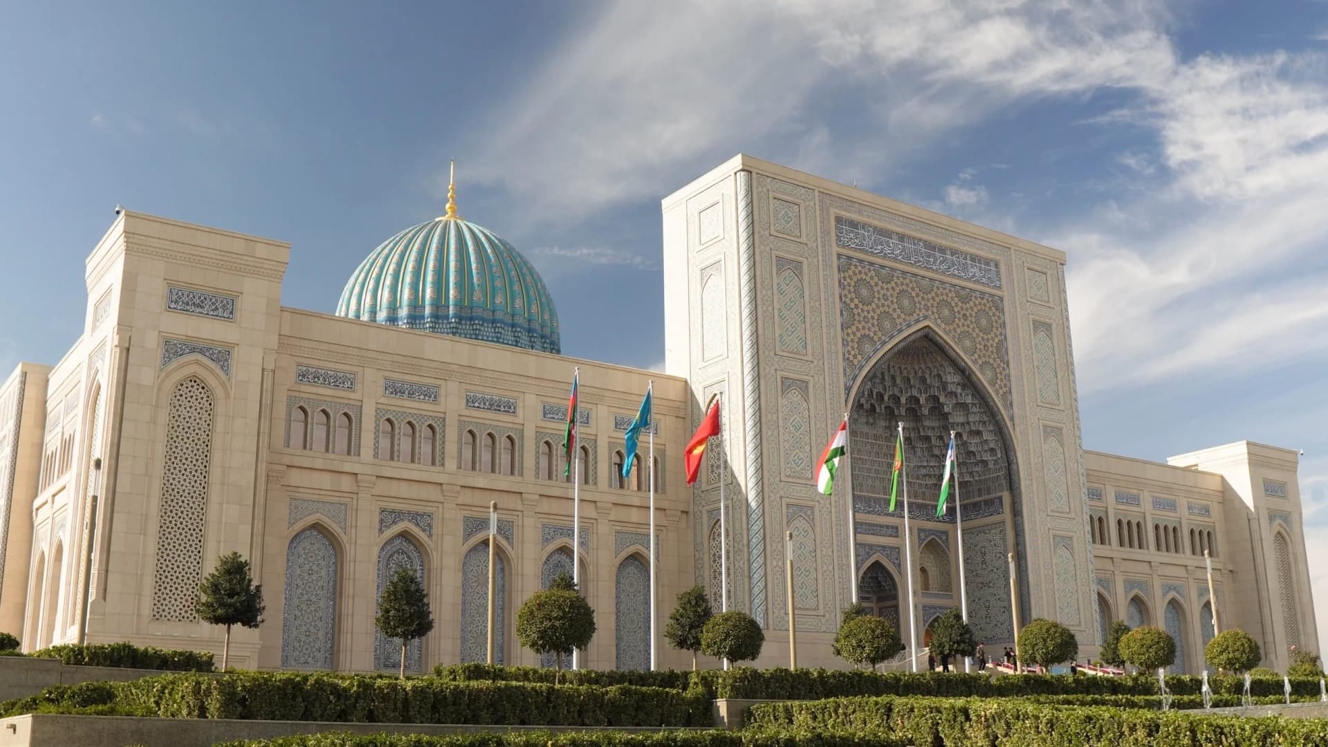
European maps created in the 17th- 18th centuries began to depict Central Asia not as a vague territory, but as a region hosting clearly defined scientific and trade centers such as Bukhara, Samarkand, and Khiva. Through these maps, one can see today at the exposition of the Islamic Civilization Center how European scholarship understood Uzbekistan.